


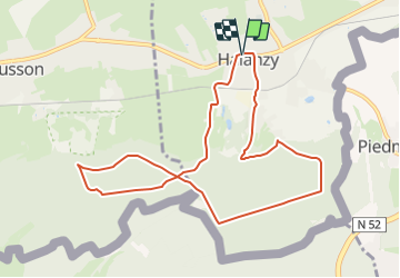

7,6 km | 9,8 km-effort

Tous les sentiers balisés d’Europe GUIDE+


Kostenlosegpshiking-Anwendung
 SityTrail
IGN / Geografische Institute
SityTrail World
Die Welt öffnet sich für Sie
Tour Zu Fuß von 9,1 km verfügbar auf Wallonien, Luxemburg, Ibingen. Diese Tour wird von SityTrail - itinéraires balisés pédestres vorgeschlagen.
Trail created by SI Aubange 32 63 38 68 54.
Symbol: green rectangle on white ground
Website: http://www.visitaubange.be


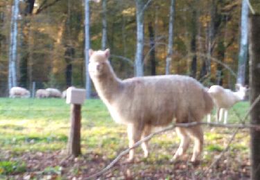
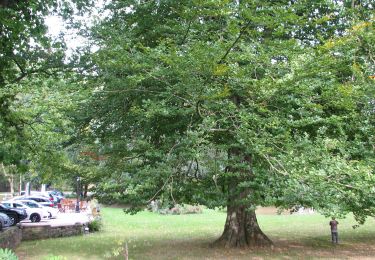
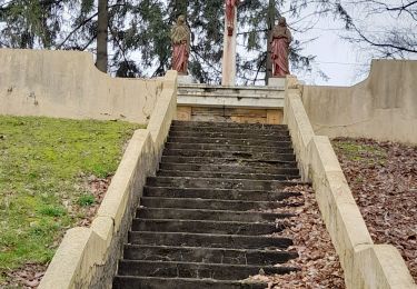
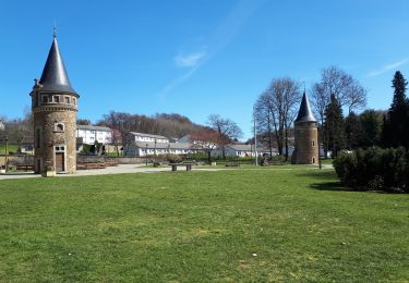
Wandern
Wandern
Mountainbike

Zu Fuß

Zu Fuß
Wandern
Wandern

Wandern