


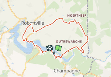

7,3 km | 8,3 km-effort

Tous les sentiers balisés d’Europe GUIDE+


Kostenlosegpshiking-Anwendung
 SityTrail
IGN / Geografische Institute
SityTrail World
Die Welt öffnet sich für Sie
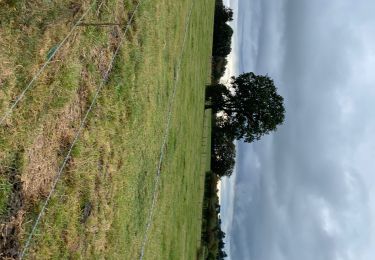
Tour Zu Fuß von 8,4 km verfügbar auf Wallonien, Lüttich, Weismes. Diese Tour wird von SityTrail - itinéraires balisés pédestres vorgeschlagen.
Website: https://www.ostbelgien.eu/fr/fiche/hiking/balades-de-reve-17-robertville#dmdtab=oax-tab7


Wandern

Wandern
Wandern

Wandern

Wandern

Wandern
Wandern
Wandern
Wandern