


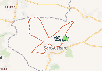

4,9 km | 5,6 km-effort

Tous les sentiers balisés d’Europe GUIDE+


Kostenlosegpshiking-Anwendung
 SityTrail
IGN / Geografische Institute
SityTrail World
Die Welt öffnet sich für Sie
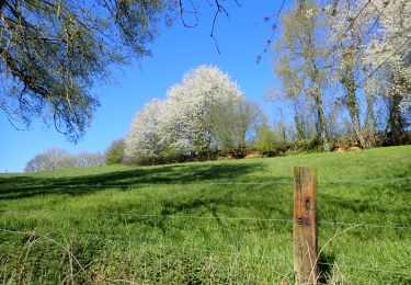
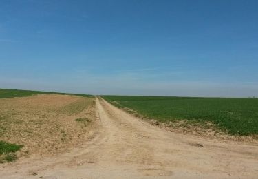
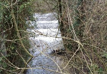
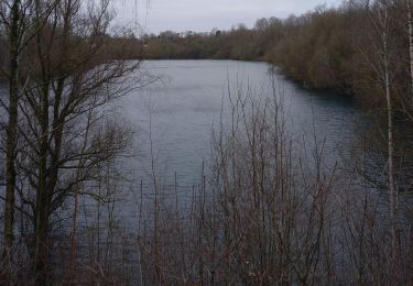
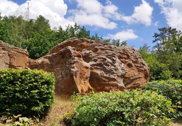
Tour Zu Fuß von 7,4 km verfügbar auf Wallonien, Wallonisch-Brabant, Incourt. Diese Tour wird von SityTrail - itinéraires balisés pédestres vorgeschlagen.
Trail created by Maison du Tourisme Hesbaye Brabançonne.
Symbol: Yellow diamond on a white background
Website: http://www.hesbayebrabanconne.be/fr/arnelle


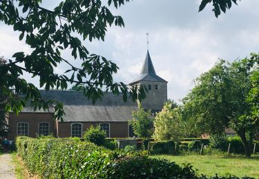
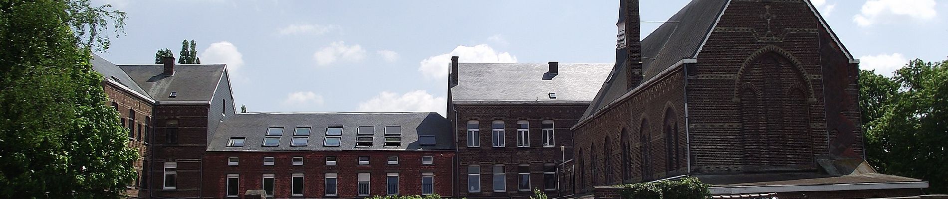
Wandern
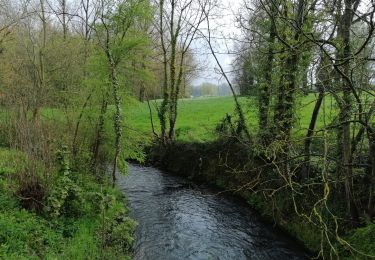
Zu Fuß
Wandern
Wandern
Wandern

Wandern
Wandern
Wandern
Wandern