


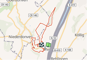

21 km | 27 km-effort

Tous les sentiers balisés d’Europe GUIDE+


Kostenlosegpshiking-Anwendung
 SityTrail
IGN / Geografische Institute
SityTrail World
Die Welt öffnet sich für Sie
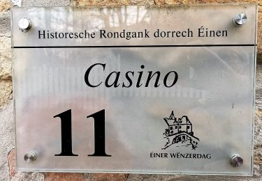
Tour Zu Fuß von 8,9 km verfügbar auf Unbekannt, Canton Grevenmacher, Wormeldingen. Diese Tour wird von SityTrail - itinéraires balisés pédestres vorgeschlagen.
Symbol: stilisiertes weißes S und H auf lila Grund


Zu Fuß

Zu Fuß
Zu Fuß
Zu Fuß

Zu Fuß
Zu Fuß
Zu Fuß
Nordic Walking

Zu Fuß