


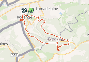


12,2 km | 14,9 km-effort


Tous les sentiers balisés d’Europe GUIDE+


Kostenlosegpshiking-Anwendung
 SityTrail
IGN / Geografische Institute
SityTrail World
Die Welt öffnet sich für Sie
Tour Zu Fuß von 8,6 km verfügbar auf Unbekannt, Kanton Esch an der Alzette, Petingen. Diese Tour wird von SityTrail - itinéraires balisés pédestres vorgeschlagen.
Trail created by Ministère de l´Économie.
Website: https://map.geoportail.lu/theme/tourisme?fid=176_4591701
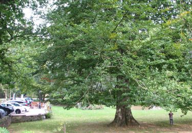
Zu Fuß
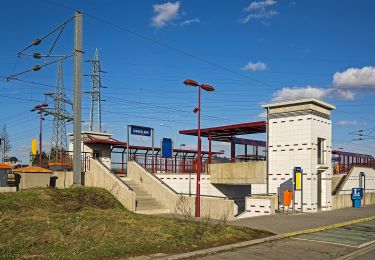
Zu Fuß
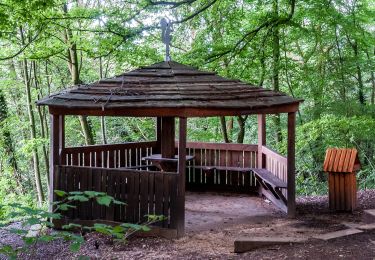
Zu Fuß
Zu Fuß
Zu Fuß
Zu Fuß
Zu Fuß
Zu Fuß