


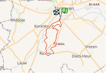

12,6 km | 14,3 km-effort

Tous les sentiers balisés d’Europe GUIDE+


Kostenlosegpshiking-Anwendung
 SityTrail
IGN / Geografische Institute
SityTrail World
Die Welt öffnet sich für Sie
Tour Zu Fuß von 10,1 km verfügbar auf Flandern, Limburg, Tongern. Diese Tour wird von SityTrail - itinéraires balisés pédestres vorgeschlagen.
Trail created by Stad Tongeren.


Wandern

Zu Fuß
Wandern
Zu Fuß
Zu Fuß
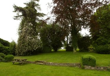
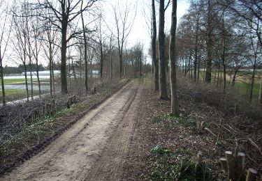
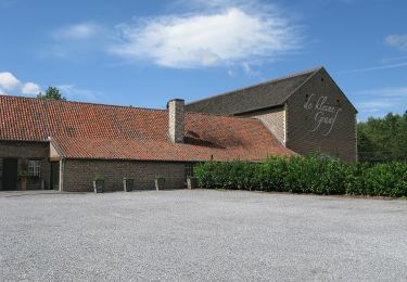
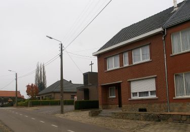
La der] Ça devient une tradition de terminer l'année par une dernière randonnée à Tongres avant un pré-réveillon sur la Grand-Place, près d'Ambiorix, au pied de la Basilique Notre-Dame.