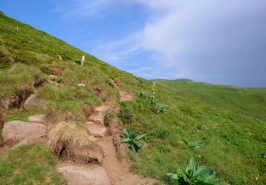
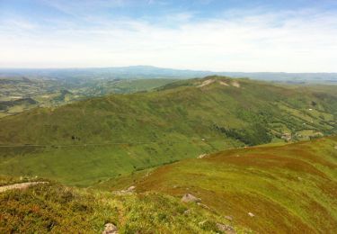
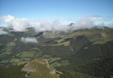
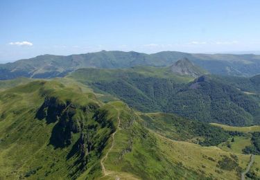
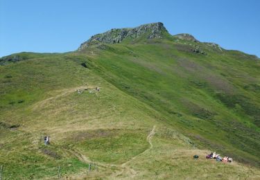
Tour Schneeschuhwandern Laveissière - Puy Griou par Meijes Costes au-dessus du Lioran - Photo

Puy Griou par Meijes Costes au-dessus du Lioran

 nicolas54230
nicolas54230

Benutzer

© OpenStreetMap contributors
Länge
Länge
9,5 km
Maximale Höhe
Maximale Höhe
1658 m
Positive Höhendifferenz
541 m
Km-Effort
Km-Effort  
16,7 km
Min. Höhe
Min. Höhe
1197 m
Negative Höhendifferenz
540 m
Boucle
Boucle
Ja
Erstellungsdatum :
2022-02-09 18:23:17.788
Letzte Änderung :
2022-02-20 19:07:37.535

(0 Nachricht)

Schneeschuhwandern
Schneeschuhwandern
--
Schwierigkeit : Medium

Scannen Sie diesen QR-Code, um die Tour in der SityTrail-Anwendung zu öffnen

Kostenlosegpshiking-Anwendung

Logo SityTrail SityTrail

IGN / Geografische Institute

SityTrail aus dem App Store herunterladen SityTrail von Google Play herunterladen

Logo SityTrail SityTrail World

Die Welt öffnet sich für Sie

SityTrail aus dem App Store herunterladen SityTrail von Google Play herunterladen SityTrail auf Huawei AppGallery herunterladen

Über SityTrail

Tour Schneeschuhwandern von 9,5 km verfügbar auf Auvergne-Rhone-Alpen, Cantal, Laveissière. Diese Tour wird von nicolas54230 vorgeschlagen.

Höhenprofil

POIs

POI Laveissière - Parking de Font d'Alagnon - Photo
nicolas54230
POI Laveissière - Route de Font de Cère - Photo
nicolas54230
POI Laveissière - Piste forestière - Photo
nicolas54230
LAVEISSIÈRE 
POI Laveissière - On prend la piste de Font de Cère - Photo
nicolas54230
POI Saint-Jacques-des-Blats - Portail - Photo
nicolas54230
SAINT-JACQUES-DES-BLATS 
POI Saint-Jacques-des-Blats - Au-dessus de la gare du télésiège - Photo
nicolas54230
SAINT-JACQUES-DES-BLATS 
POI Laveissière - Gare supérieure du télésiège de Font d'Alagnon - Photo
nicolas54230
POI Laveissière - Sentier venant du Téton de Vénus - Photo
nicolas54230
POI Laveissière - Début du sentier de Meijes Costes - Photo
nicolas54230
POI Laveissière - Près d'une des sources de l' - Photo
nicolas54230
POI Laveissière - Fin de la zone de pâturages et barrière électrifié - Photo
nicolas54230
POI Laveissière - Parking Font d'Alagnon - Photo
nicolas54230

Ort

Land:
France
Region :
Auvergne-Rhone-Alpen
Abteilung/Provinz :
Cantal
Kommune :
Laveissière
Standort:
Unknown
Gehen Sie:(Dec)
Gehen Sie:(UTM)
479470 ; 4992791 (31T) N.

Touren in der Umgebung

Tour Wandern Albepierre-Bredons - Cantal - Col de Prat de Bouc Le Plomb du Cantal - 8.2km 450m 2h45 - 2019 07 06 - Photo
Wandern
GUIDE
Orcal37

Wandern

Medium
(1)
Albepierre-Bredons, Auvergne-Rhone-Alpen, Cantal, France
8,2 km | 14,2 km-effort
2h 45min
Ja
Tour Wandern Lavigerie - Le Puy de Peyre Arse depuis la Gravière - Photo
Wandern
tracegps

Wandern

Schwierig
(2)
Lavigerie, Auvergne-Rhone-Alpen, Cantal, France
11,2 km | 21 km-effort
4h 0min
Ja
Tour Wandern Laveissière - Le Puy Griou de Super Lioran - Photo
Wandern
tracegps

Wandern

Medium
(2)
Laveissière, Auvergne-Rhone-Alpen, Cantal, France
11,9 km | 19,7 km-effort
5h 0min
Ja
Tour Wandern Laveissière - Le plomb du Cantal - Le Lioran - Photo
Wandern
tracegps

Wandern

Medium
(1)
Laveissière, Auvergne-Rhone-Alpen, Cantal, France
14,4 km | 27 km-effort
6h 0min
Ja
Tour Wandern Laveissière - Les crêtes du Cantal - Le Lioran - Photo
Wandern
tracegps

Wandern

Schwierig
(4)
Laveissière, Auvergne-Rhone-Alpen, Cantal, France
28 km | 51 km-effort
7h 30min
Ja
Tour Wandern Laveissière - le Peyre Arse - Le Lioran - Photo
Wandern
tracegps

Wandern

Schwierig
(1)
Laveissière, Auvergne-Rhone-Alpen, Cantal, France
11,2 km | 19,4 km-effort
4h 0min
Nein
Tour Wandern Laveissière - Lioran 2023-08-18 Col de Rombière Col du Pertus A/R - Photo
Wandern
marionneau

Wandern

Einfach
(1)
Laveissière, Auvergne-Rhone-Alpen, Cantal, France
12,5 km | 18,8 km-effort
4h 14min
Ja
Tour Wandern Laveissière - Lioran 2023-08-11 Col du Pertus - Photo
Wandern
marionneau

Wandern

Medium
(1)
Laveissière, Auvergne-Rhone-Alpen, Cantal, France
17,3 km | 25 km-effort
2h 57min
Ja
Tour Wandern Laveissière - Lioran 2023-08-09 Puy de Seycheuse - Photo
Wandern
marionneau

Wandern

Sehr schwierig
(1)
Laveissière, Auvergne-Rhone-Alpen, Cantal, France
13,9 km | 23 km-effort
5h 20min
Ja


Schließen
Meine Abonnements