![](/images/other/stat-length.png)
![Tour Wandern Bleiberg - 2022.12.09 Enéo Hombourg - Photo](https://media.geolcdn.com/t/1900/400/e9911730-648d-4cb8-a18b-d7f7bf1bb58f.jpg&format=pjpeg&maxdim=2)
2022.12.09 Enéo Hombourg
Bob4800
Benutzer
![Länge](/images/other/stat-length.png)
Länge
6,3 km
![Maximale Höhe](https://static1.geolcdn.com/siteimages/upload/files/1508320355ic_sort_altitude_max_24dp.png)
Maximale Höhe
243 m
![Positive Höhendifferenz](https://static1.geolcdn.com/siteimages/upload/files/1508320355ic_sort_den_pos_24dp.png)
Positive Höhendifferenz
104 m
![Km-Effort](/images/other/stat-length.png)
Km-Effort
7,7 km
![Min. Höhe](https://static1.geolcdn.com/siteimages/upload/files/1508320355ic_sort_altitude_min_24dp.png)
Min. Höhe
175 m
![Negative Höhendifferenz](https://static1.geolcdn.com/siteimages/upload/files/1508320355ic_sort_den_neg_24dp.png)
Negative Höhendifferenz
99 m
![Boucle](https://static1.geolcdn.com/siteimages/upload/files/16400158638029165_repeat_loop_refresh_sync_direction_icon.png)
Boucle
Ja
Erstellungsdatum :
2022-02-09 13:05:12.549
Letzte Änderung :
2022-02-09 14:54:44.461
![Wandern](https://static1.geolcdn.com/sitytour/trail-icons/101.png)
1h48
Schwierigkeit : Medium
![Scannen Sie diesen QR-Code, um die Tour in der SityTrail-Anwendung zu öffnen](https://capi.geolives.com/qq0zvz2zws4bq2lad0pu/sitytour/trails/3083202/qr.png?size=200)
Kostenlosegpshiking-Anwendung
Über SityTrail
Tour Wandern von 6,3 km verfügbar auf Wallonien, Lüttich, Bleiberg. Diese Tour wird von Bob4800 vorgeschlagen.
Beschreibung
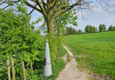
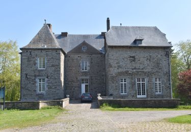
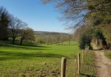
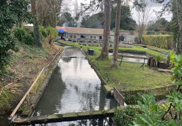
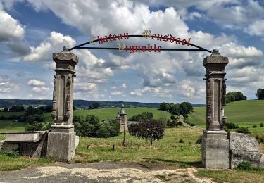
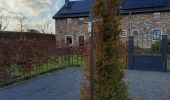
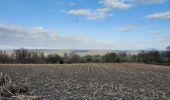
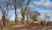
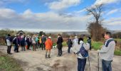
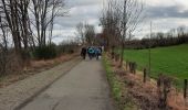
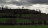
Belle balade sous un peu de soleil, ciel bleu, pas de pluie. Chemins macadamisés entre prairies et villages, un peu de ravel, quelques tronçons de sentiers légèrement boueux.
Ort
Land:
Belgium
Region :
Wallonien
Abteilung/Provinz :
Lüttich
Kommune :
Bleiberg
Standort:
Unknown
Gehen Sie:(Dec)
Gehen Sie:(UTM)
706059 ; 5623089 (31U) N.
Kommentare
Touren in der Umgebung
![Tour Wandern Bleiberg - Hombourg. Natura 2000, des sites qui valent le détour ! Lg6 - Photo](https://media.geolcdn.com/t/375/260/ext.jpg?maxdim=2&url=https%3A%2F%2Fservices.sitytrail.com%2FGeolivesWS%2FDownloadMedia.ashx%3FTrailID%3D142693%26Media%3D08dbd372-9409-44af-92fd-51b9576d1e78.JPG)
![Wandern Wandern](https://static1.geolcdn.com/sitytour/trail-icons/101.png)
Hombourg. Natura 2000, des sites qui valent le détour ! Lg6
Wandern
Einfach
(10)
Bleiberg,
Wallonien,
Lüttich,
Belgium
![](/images/other/stat-length.png)
9,5 km | 12 km-effort
2h 35min
![](https://static1.geolcdn.com/siteimages/upload/files/16400158638029165_repeat_loop_refresh_sync_direction_icon.png)
Ja
![Tour Wandern Vuren - Amstel Gold Race 2024 🚲 - Photo](https://media.geolcdn.com/t/375/260/bca146f7-0c03-4970-a3ca-ea328283e994.jpg&format=jpg&maxdim=2)
![Wandern Wandern](https://static1.geolcdn.com/sitytour/trail-icons/101.png)
Amstel Gold Race 2024 🚲
Wandern
Medium
(1)
Vuren,
Flandern,
Limburg,
Belgium
![](/images/other/stat-length.png)
11,7 km | 14,9 km-effort
3h 23min
![](https://static1.geolcdn.com/siteimages/upload/files/16400158638029165_repeat_loop_refresh_sync_direction_icon.png)
Ja
![Wandern Wandern](https://static1.geolcdn.com/sitytour/trail-icons/101.png)
20220428 - Bois de Hess 6.7 Km
Wandern
Medium
(1)
Bleiberg,
Wallonien,
Lüttich,
Belgium
![](/images/other/stat-length.png)
6,7 km | 8,4 km-effort
3h 11min
![](https://static1.geolcdn.com/siteimages/upload/files/16400158638029165_repeat_loop_refresh_sync_direction_icon.png)
Ja
![Tour Wandern Gulpen-Wittem - 2021-03-30_19h30m42_1141 - Photo](https://media.geolcdn.com/t/375/260/4eff2d95-7f9b-4081-a7dd-49c9945fbab4.jpg&format=jpg&maxdim=2)
![Wandern Wandern](https://static1.geolcdn.com/sitytour/trail-icons/101.png)
2021-03-30_19h30m42_1141
Wandern
Einfach
(2)
Gulpen-Wittem,
Limburg,
Unbekannt,
Netherlands
![](/images/other/stat-length.png)
12,5 km | 16,1 km-effort
3h 38min
![](https://static1.geolcdn.com/siteimages/upload/files/16400158638029165_repeat_loop_refresh_sync_direction_icon.png)
Ja
![Tour Wandern Aubel - RB-Lg-04 - Raccourci - À travers le bocage aubelois - Photo](https://media.geolcdn.com/t/375/260/ext.jpg?maxdim=2&url=https%3A%2F%2Fservices.sitytrail.com%2FGeolivesWS%2FDownloadMedia.ashx%3FTrailID%3D209393%26Media%3D9ac6c0af-9a08-4948-b5d5-06a09e8ba132.jpg)
![Wandern Wandern](https://static1.geolcdn.com/sitytour/trail-icons/101.png)
RB-Lg-04 - Raccourci - À travers le bocage aubelois
Wandern
Medium
(4)
Aubel,
Wallonien,
Lüttich,
Belgium
![](/images/other/stat-length.png)
17,1 km | 22 km-effort
4h 50min
![](https://static1.geolcdn.com/siteimages/upload/files/16400158638029165_repeat_loop_refresh_sync_direction_icon.png)
Ja
![Tour Mountainbike Aubel - 20220727 Yeyette à Gorhez - Photo](https://media.geolcdn.com/t/375/260/3e91e36a-9872-4e44-80fe-5903cdab6ed3.jpg&format=jpg&maxdim=2)
![Mountainbike Mountainbike](https://static1.geolcdn.com/sitytour/trail-icons/202.png)
20220727 Yeyette à Gorhez
Mountainbike
Medium
(1)
Aubel,
Wallonien,
Lüttich,
Belgium
![](/images/other/stat-length.png)
33 km | 41 km-effort
2h 33min
![](https://static1.geolcdn.com/siteimages/upload/files/16400158638029165_repeat_loop_refresh_sync_direction_icon.png)
Ja
![Tour Wandern Vuren - 80.241 Teuven - St.Martens Voeren - Photo](https://media.geolcdn.com/t/375/260/9b49319b-bafb-415c-b20a-60f63ad55664.jpg&format=jpg&maxdim=2)
![Wandern Wandern](https://static1.geolcdn.com/sitytour/trail-icons/101.png)
80.241 Teuven - St.Martens Voeren
Wandern
Medium
(1)
Vuren,
Flandern,
Limburg,
Belgium
![](/images/other/stat-length.png)
14,9 km | 18,7 km-effort
4h 29min
![](https://static1.geolcdn.com/siteimages/upload/files/16400158638029165_repeat_loop_refresh_sync_direction_icon.png)
Nein
![Tour Mountainbike Aubel - 10942068-VTT AUBEL 10 MAI 2020 58 KMS - Photo](https://media.geolcdn.com/t/375/260/db368aa7-ef51-4c2a-90d2-a8cae2117bc2.jpg&format=jpg&maxdim=2)
![Mountainbike Mountainbike](https://static1.geolcdn.com/sitytour/trail-icons/202.png)
10942068-VTT AUBEL 10 MAI 2020 58 KMS
Mountainbike
Sehr schwierig
(2)
Aubel,
Wallonien,
Lüttich,
Belgium
![](/images/other/stat-length.png)
42 km | 55 km-effort
5h 8min
![](https://static1.geolcdn.com/siteimages/upload/files/16400158638029165_repeat_loop_refresh_sync_direction_icon.png)
Ja
![Tour Wandern Aubel - Aubel, Tossem, Helestrop - Photo](https://media.geolcdn.com/t/375/260/ext.jpg?maxdim=2&url=https%3A%2F%2Fservices.sitytrail.com%2FGeolivesWS%2FDownloadMedia.ashx%3FTrailID%3D643850%26Media%3D20161009164230.jpg)
![Wandern Wandern](https://static1.geolcdn.com/sitytour/trail-icons/101.png)
Aubel, Tossem, Helestrop
Wandern
Sehr leicht
(1)
Aubel,
Wallonien,
Lüttich,
Belgium
![](/images/other/stat-length.png)
9,9 km | 12 km-effort
2h 44min
![](https://static1.geolcdn.com/siteimages/upload/files/16400158638029165_repeat_loop_refresh_sync_direction_icon.png)
Ja