


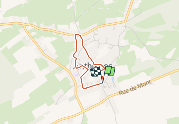

4,4 km | 5,9 km-effort

Randonnées du CGT GUIDE+


Kostenlosegpshiking-Anwendung
 SityTrail
IGN / Geografische Institute
SityTrail World
Die Welt öffnet sich für Sie
Tour Zu Fuß von 2 km verfügbar auf Wallonien, Lüttich, Anthisnes. Diese Tour wird von Commissariat général au Tourisme vorgeschlagen.
Trail created by Ourthe Vesdre Amblève.
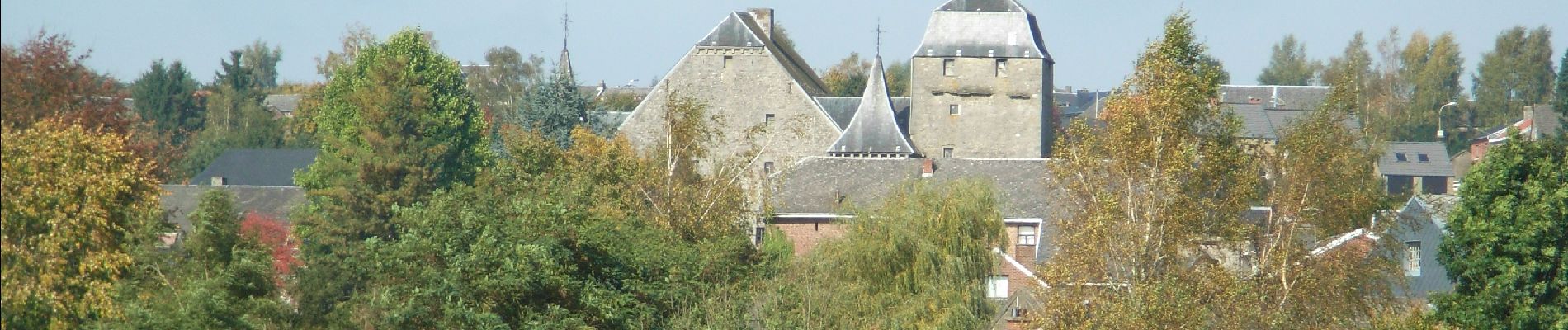
Während dieser WAnderung können Sie die typische Häuser des Condorz, das Schloss Avouerie, den Abteihof St. Laurent und den Hof Omalius entdecken.


Wandern

Wandern

Wandern

Wandern

Wandern

Wandern

Wandern

Wandern

Zu Fuß