


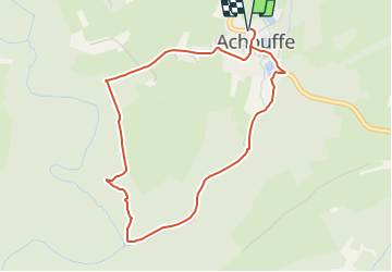


22 km | 29 km-effort


Randonnées du CGT GUIDE+


Kostenlosegpshiking-Anwendung
 SityTrail
IGN / Geografische Institute
SityTrail World
Die Welt öffnet sich für Sie
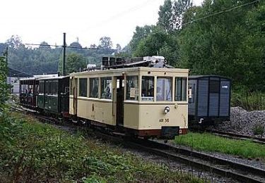
Tour Zu Fuß von 4 km verfügbar auf Wallonien, Luxemburg, Hohenfels. Diese Tour wird von Commissariat général au Tourisme vorgeschlagen.
Trail created by Cœur de l'Ardenne, au fil de l'Ourthe & de l'Aisne.
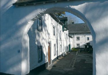
Wandern
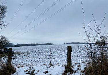
Wandern

Wandern

Wandern
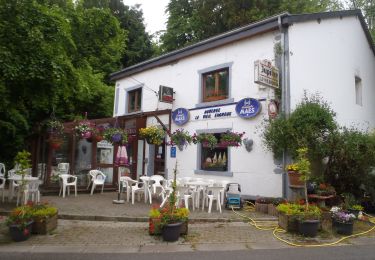
Wandern
Wandern
Wandern
Wandern
Wandern