


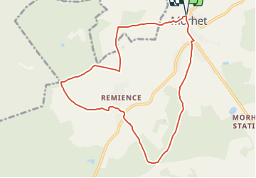


5,5 km | 6,9 km-effort


Randonnées du CGT GUIDE+


Kostenlosegpshiking-Anwendung
 SityTrail
IGN / Geografische Institute
SityTrail World
Die Welt öffnet sich für Sie
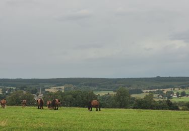
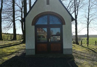
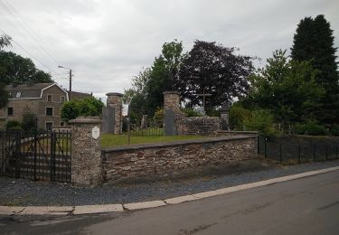
Tour Zu Fuß von 8,5 km verfügbar auf Wallonien, Luxemburg, Vaux-sur-Sûre. Diese Tour wird von Commissariat général au Tourisme vorgeschlagen.
Trail created by Haute-Süre Forêt d'Anlier en Ardenne.

Wandern

Wandern

Wandern
Zu Fuß
Zu Fuß
Wandern
Wandern
Zu Fuß
Zu Fuß