


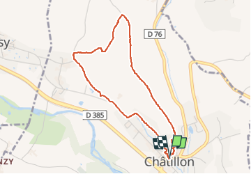


9,6 km | 11,8 km-effort

Benutzer


Kostenlosegpshiking-Anwendung
 SityTrail
IGN / Geografische Institute
SityTrail World
Die Welt öffnet sich für Sie
Tour Wandern von 4,2 km verfügbar auf Auvergne-Rhone-Alpen, Rhône, Châtillon. Diese Tour wird von Sigmut vorgeschlagen.
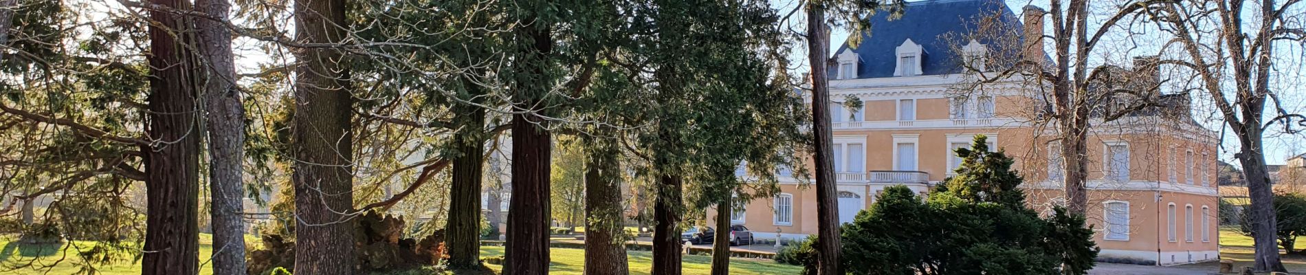
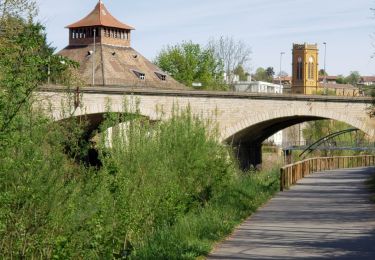
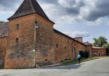
Très belle vue du plateau au dessus de Châtillon


38 Fotos insgesamt. Klicken Sie auf ein Foto, um sie alle in der Galerie zu sehen.
Wandern

Mountainbike

Zu Fuß

Zu Fuß

Nordic Walking

Wandern
Wandern
Wandern
Wandern