


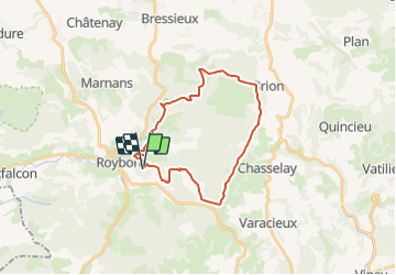

9,2 km | 12,3 km-effort

Benutzer


Kostenlosegpshiking-Anwendung
 SityTrail
IGN / Geografische Institute
SityTrail World
Die Welt öffnet sich für Sie
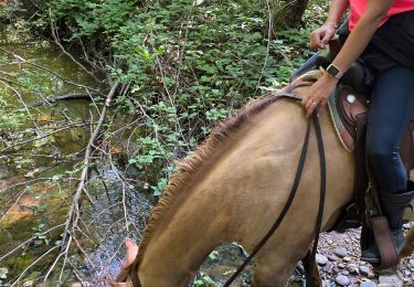
Tour Reiten von 25 km verfügbar auf Auvergne-Rhone-Alpen, Isère, Roybon. Diese Tour wird von Ariane Uriel vorgeschlagen.
Itinéraire proposé par Isère Cheval vert, modifié pour éviter le parc animalier (fermé en hiver). Vérifié le 27/02/22. L'itinéraire original est disponible sur le site d'Isère Cheval Vert


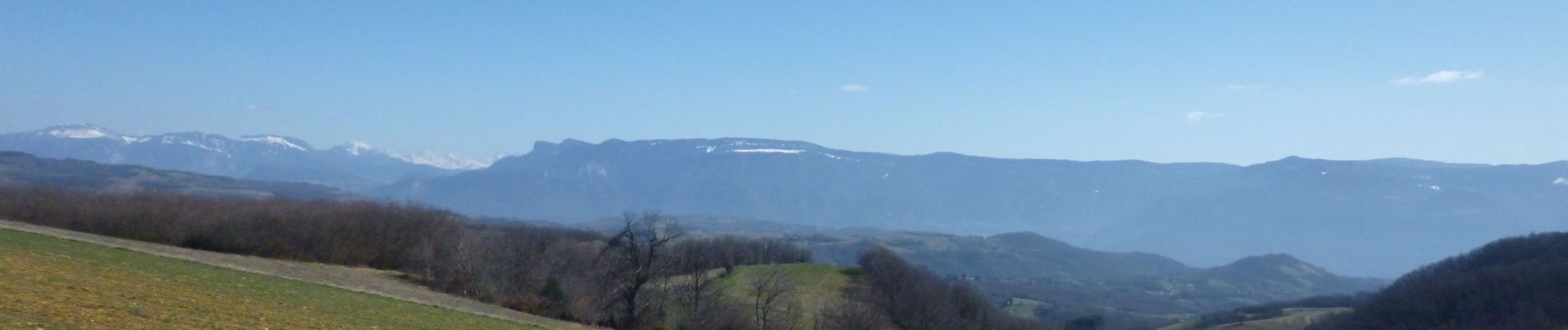
Wandern
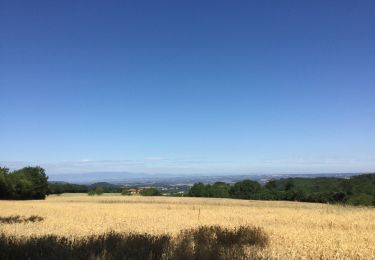
Wandern
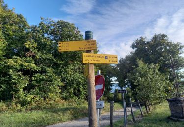
Wandern

Kutsche fahren


sport
sport
sport
Wandern