


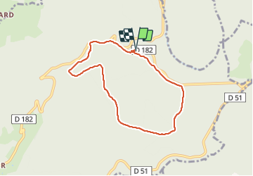

12,2 km | 18,2 km-effort


Benutzer


Kostenlosegpshiking-Anwendung
 SityTrail
IGN / Geografische Institute
SityTrail World
Die Welt öffnet sich für Sie
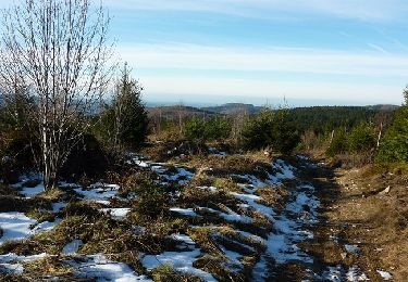
Tour Wandern von 7 km verfügbar auf Auvergne-Rhone-Alpen, Allier, Laprugne. Diese Tour wird von jpc42 vorgeschlagen.
Départ en dessous du parking des autocars.
Pas de difficultés hormis une belle grimpette avant les pierres druidiques
Wandern

Wandern
Wandern
Wandern
Schneeschuhwandern
Mountainbike
Mountainbike
Mountainbike
Laufen