


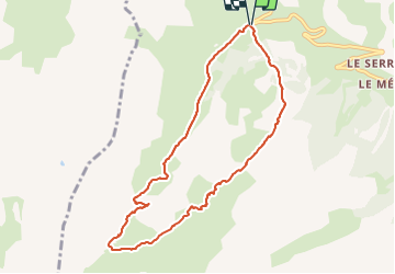

4,5 km | 6,1 km-effort

Benutzer


Kostenlosegpshiking-Anwendung
 SityTrail
IGN / Geografische Institute
SityTrail World
Die Welt öffnet sich für Sie
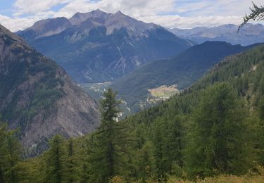
Tour Skiwanderen von 9 km verfügbar auf Provence-Alpes-Côte d'Azur, Alpes-de-Haute-Provence, Saint-Paul-sur-Ubaye. Diese Tour wird von FREERIDE13006 vorgeschlagen.
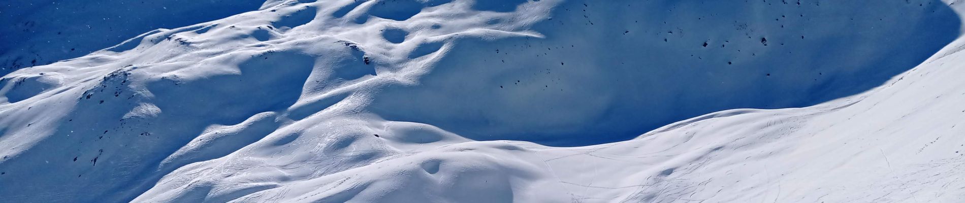
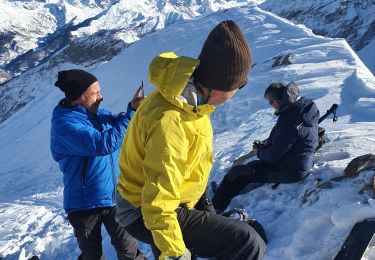
ski rando.
Sortie facile ou difficile selon les conditions.
Poudreuse en haut, glacé et cartonné en bas


Wandern

Wandern

Wandern

Wandern
Elektrofahrrad
Wandern
Wandern
Skiwanderen
Wandern