


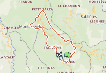

11,4 km | 14,4 km-effort


Benutzer GUIDE


Kostenlosegpshiking-Anwendung
 SityTrail
IGN / Geografische Institute
SityTrail World
Die Welt öffnet sich für Sie
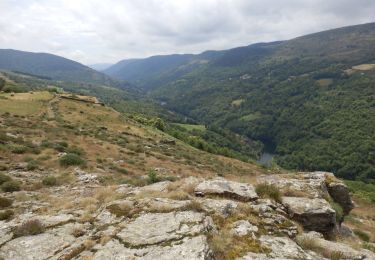
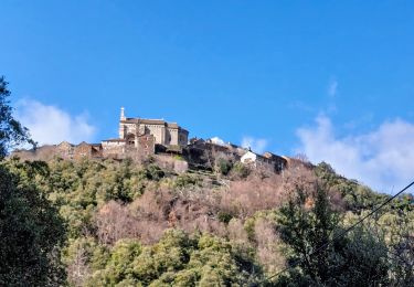
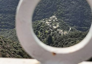
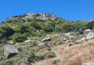
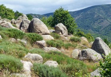
Tour Wandern von 17,5 km verfügbar auf Auvergne-Rhone-Alpen, Ardèche, Malarce-sur-la-Thines. Diese Tour wird von thonyc vorgeschlagen.
Nota: stationner 1km avant le village, car très peu de parking à l'entrée du village et traversée interdite en voiture.
Wandern
Wandern
Wandern
Wandern

Wandern
Wandern
Wandern
Wandern
Wandern