


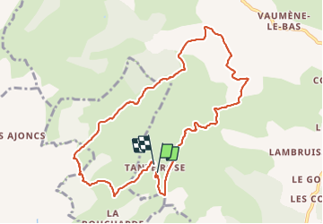

11,1 km | 15 km-effort

Benutzer


Kostenlosegpshiking-Anwendung
 SityTrail
IGN / Geografische Institute
SityTrail World
Die Welt öffnet sich für Sie
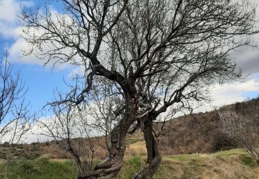
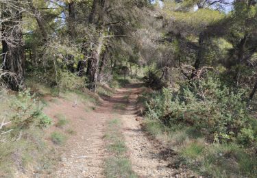
Tour Wandern von 10,4 km verfügbar auf Provence-Alpes-Côte d'Azur, Alpes-de-Haute-Provence, Saint-Jeannet. Diese Tour wird von Jemasa9 vorgeschlagen.
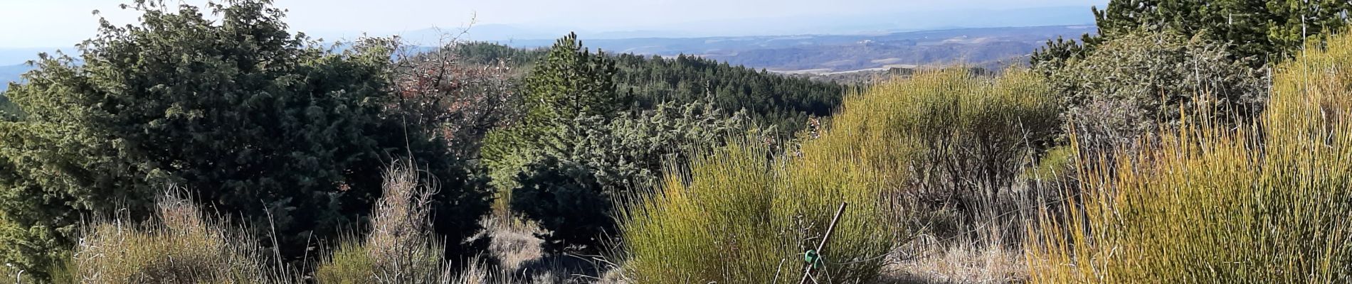
difficile de trouver le sentier avant la piste fin randonnée. très beaux points de vue


Wandern
Wandern
Wandern
Mountainbike

Zu Fuß

Wandern
Wandern
Wandern

Mountainbike