


5 km | 6,7 km-effort

Benutzer


Kostenlosegpshiking-Anwendung
 SityTrail
IGN / Geografische Institute
SityTrail World
Die Welt öffnet sich für Sie
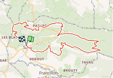
Tour Zu Fuß von 30 km verfügbar auf Auvergne-Rhone-Alpen, Drôme, Saou. Diese Tour wird von Julie LABBE vorgeschlagen.
Départ du parking de Saou puis montée par La Poupoune avec découverte d'une petite grotte juste avant d'arriver à Rochecolombe.
Direction Pas de l'Echelette et descente jusqu'au col de Lauzens, Le Pertuis.
Un peu de route goudronnée puis monotrace par la route touritique le long de la Vèbre
Montée direction le Grand Pommerolle par Pas de Jossaud, pas de Courbis et descente par Pas de Berlhe à Ferme de l'Estang.
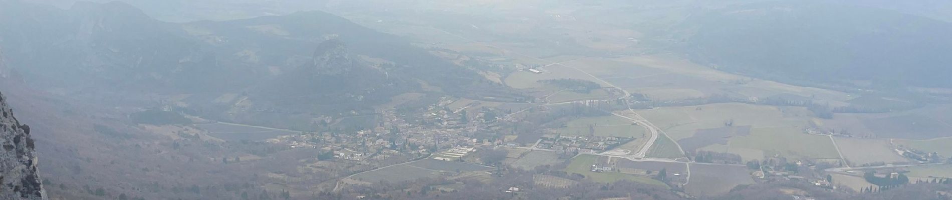
 - Photo 1")
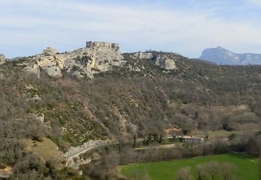
 - Photo 2")
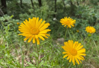
 - Photo 3")
 - Photo 4")

Wandern

Wandern

Wandern

Wandern

Wandern

Wandern
Wandern

Wandern
Wandern