


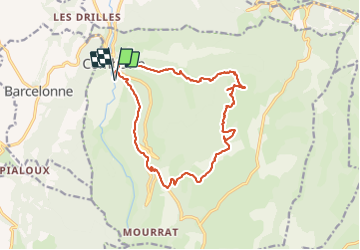

4,3 km | 6,6 km-effort


Benutzer


Kostenlosegpshiking-Anwendung
 SityTrail
IGN / Geografische Institute
SityTrail World
Die Welt öffnet sich für Sie
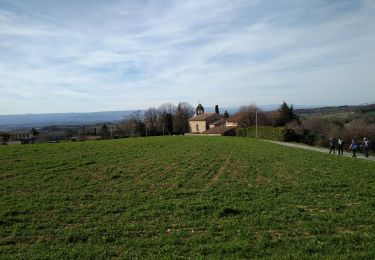
Tour Wandern von 16,6 km verfügbar auf Auvergne-Rhone-Alpen, Drôme, Combovin. Diese Tour wird von alinetpierre vorgeschlagen.
Départ de combovin cimetière, attention peu de sentiers, ne pas se perdre dans les pâturages, des passages dans les buis. Bonne balade
Wandern
Wandern

Wandern

Wandern

Wandern
Wandern
Wandern

Rennrad
Wandern