


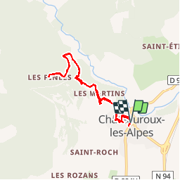

8,2 km | 18,4 km-effort

Benutzer


Kostenlosegpshiking-Anwendung
 SityTrail
IGN / Geografische Institute
SityTrail World
Die Welt öffnet sich für Sie
Tour Wandern von 8 km verfügbar auf Provence-Alpes-Côte d'Azur, Hochalpen, Châteauroux-les-Alpes. Diese Tour wird von BLANCHET vorgeschlagen.
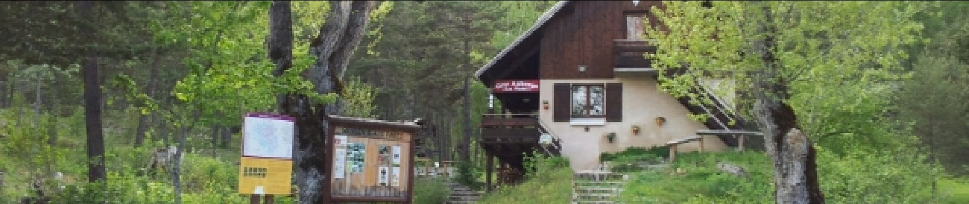
c est une balade
pas une rando. on peut manger au refuge. En été on évitera pas les
voitures sur ma route de la cascade.


Wandern

Wandern

Wandern

Wandern

Wandern

Wandern

Wandern

Wandern

Wandern