


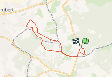

19,9 km | 26 km-effort

Benutzer GUIDE


Kostenlosegpshiking-Anwendung
 SityTrail
IGN / Geografische Institute
SityTrail World
Die Welt öffnet sich für Sie
Tour Wandern von 7,2 km verfügbar auf Wallonien, Lüttich, Limburg. Diese Tour wird von pierreh01 vorgeschlagen.
Lundi 17 janvier 2022 : Balade quotidienne du lundi
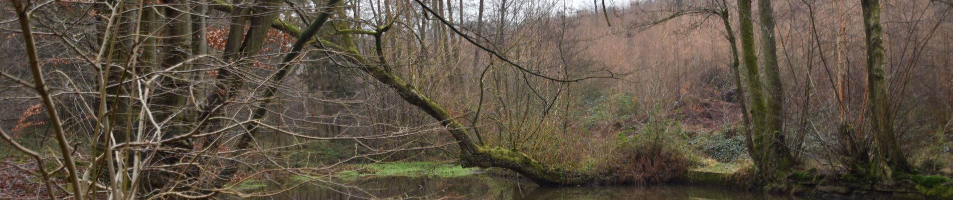
Au départ de La Louveterie pour un circuit en boucle non balisé, en passant notamment par les étangs du Cossart.
En cette saison, les sentiers empruntés étaient boueux à très boueux.


Wandern

Wandern

Wandern

Wandern

Wandern

Wandern

Wandern

Wandern
Zu Fuß