


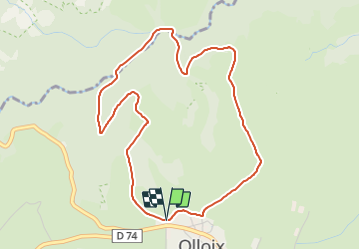


10,5 km | 13,6 km-effort

Benutzer GUIDE


Kostenlosegpshiking-Anwendung
 SityTrail
IGN / Geografische Institute
SityTrail World
Die Welt öffnet sich für Sie
Tour Wandern von 4,8 km verfügbar auf Auvergne-Rhone-Alpen, Puy-de-Dôme, Olloix. Diese Tour wird von jagarnier vorgeschlagen.
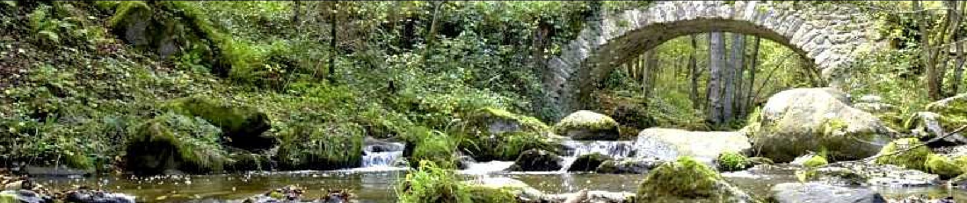
Le sentier quitte le puy d'Auzelle et plonge vers les gorges de la Monne. Il passe la rivière sur le joli pont de Riberolles. La remontée fait découvrir les ruines dun village et son moulin,.


Wandern

Wandern

Zu Fuß

Zu Fuß
Zu Fuß

Zu Fuß

Zu Fuß

Zu Fuß

Zu Fuß