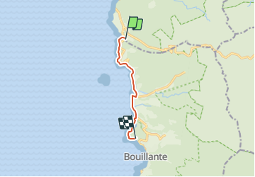

5,8 km | 9,2 km-effort


Benutzer


Kostenlosegpshiking-Anwendung
 SityTrail
IGN / Geografische Institute
SityTrail World
Die Welt öffnet sich für Sie
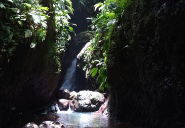
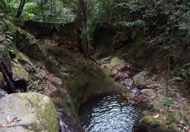
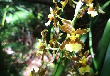
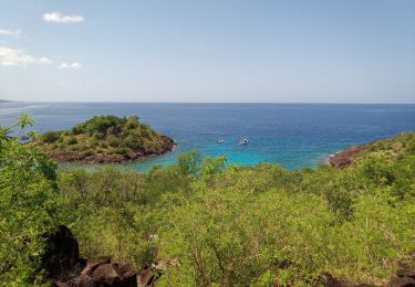
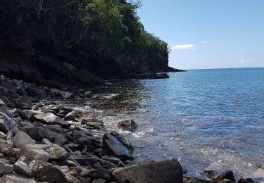
Tour Wandern von 7,1 km verfügbar auf Guadeloupe, Unbekannt, Bouillante. Diese Tour wird von Jo-Guide vorgeschlagen.
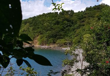
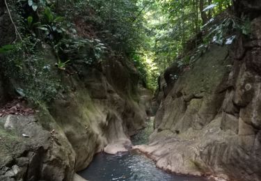
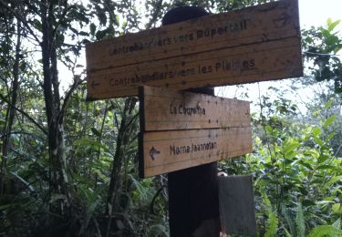
Randonnée qui part à la découverte du littoral de la Côte-sous-le-vent avec ses forêts sèches et son Panorama sur les Ilets de Pigeon.
Wandern
Wandern
Wandern
Wandern

Wandern
Wandern
Kanufahren - Kajakfahren
Wandern