


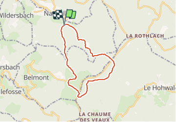

18,8 km | 26 km-effort


Benutzer


Kostenlosegpshiking-Anwendung
 SityTrail
IGN / Geografische Institute
SityTrail World
Die Welt öffnet sich für Sie
Tour Wandern von 12,6 km verfügbar auf Großer Osten, Unterelsass, Neuweiler. Diese Tour wird von Bart2015 vorgeschlagen.
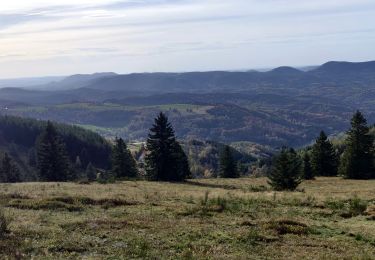
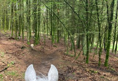
Randonnée spécifique raquettes depuis Natzwiller (600 m) car elle ne suit pas forcément les sentiers dans la partie longeant les pistes de ski du Champ du Feu. Belle balade qui permet de voir la magnifique cascade de la Serva et les beaux sentiers enneigés bordés de sapin. Des images inoubliables si le soleil est au rendez-vous.
Bonne randonnée ...

Reiten

Wandern

Wandern

Wandern
Reiten
Wandern
Reiten

Reiten
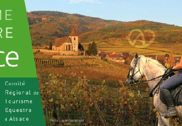
Reiten