


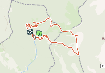

14 km | 26 km-effort


Benutzer


Kostenlosegpshiking-Anwendung
 SityTrail
IGN / Geografische Institute
SityTrail World
Die Welt öffnet sich für Sie
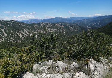
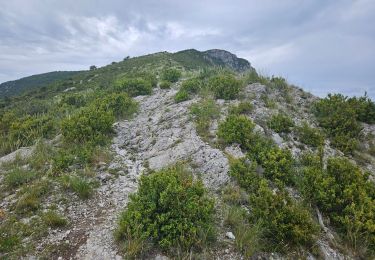
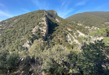
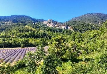
Tour Wandern von 10,4 km verfügbar auf Auvergne-Rhone-Alpen, Drôme, Venterol. Diese Tour wird von sramael vorgeschlagen.
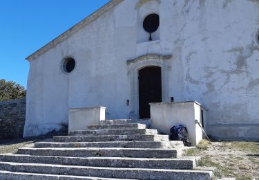
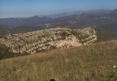
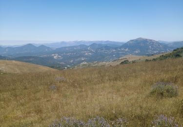
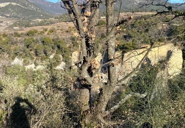
Pittige wandeling naar Courgoir - mooie vergezichten op Ventoux en les Baronnies. Zeker de moeite waard - best najaar tot voorjaar.

Wandern
Wandern
Wandern
Wandern
Wandern
Wandern
Wandern
Wandern
Wandern