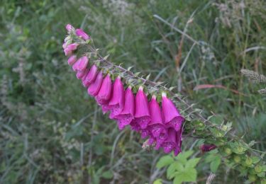
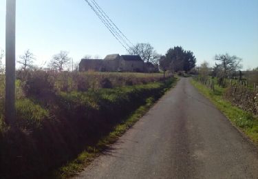
63 km | 82 km-effort
Belcastel 20km 700D+
Levillefranchois
Benutzer
Länge
20 km
Maximale Höhe
605 m
Positive Höhendifferenz
614 m
Km-Effort
28 km
Min. Höhe
394 m
Negative Höhendifferenz
617 m
Boucle
Ja
Erstellungsdatum :
2021-12-22 19:32:30.925
Letzte Änderung :
2021-12-23 08:43:20.63
--
Schwierigkeit : Medium
Kostenlosegpshiking-Anwendung
Über SityTrail
Tour Wandern von 20 km verfügbar auf Okzitanien, Aveyron, Colombiès. Diese Tour wird von Levillefranchois vorgeschlagen.
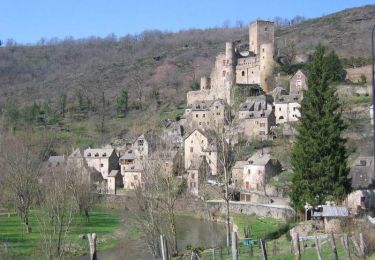
Ort
Land:
France
Region :
Okzitanien
Abteilung/Provinz :
Aveyron
Kommune :
Colombiès
Standort:
Unknown
Gehen Sie:(Dec)
Gehen Sie:(UTM)
445020 ; 4913889 (31T) N.
Kommentare
Touren in der Umgebung
Sentier Ethno-Botanique en Ségala
Zu Fuß
Einfach
Rignac,
Okzitanien,
Aveyron,
France
7,2 km | 10,5 km-effort
2h 23min
Ja
maquis de guesclins rignac
Wandern
Medium
(1)
Rignac,
Okzitanien,
Aveyron,
France
14,8 km | 21 km-effort
4h 11min
Ja
Rodez (Région) Le tour de Belcastel 09 08 2020
Zu Fuß
Medium
Belcastel,
Okzitanien,
Aveyron,
France
11,5 km | 16,7 km-effort
Unbekannt
Ja
Le tour de Belcastel
Wandern
Medium
Belcastel,
Okzitanien,
Aveyron,
France
9,2 km | 13 km-effort
2h 48min
Ja
Colombies
Wandern
Schwierig
Colombiès,
Okzitanien,
Aveyron,
France
11,4 km | 13,8 km-effort
2h 54min
Ja
Colombies Belcastel
Wandern
Sehr schwierig
Colombiès,
Okzitanien,
Aveyron,
France
22 km | 31 km-effort
6h 18min
Ja
la croquettes belcastel variante
Wandern
Sehr leicht
Colombiès,
Okzitanien,
Aveyron,
France
11,3 km | 16,7 km-effort
3h 42min
Ja
Rignac Blaireaux
Wandern
Sehr leicht
Rignac,
Okzitanien,
Aveyron,
France
21 km | 26 km-effort
5h 37min
Ja
A ne pas faire. impraticable sur de nombreux tronçons. sentier détourné, sentiers inexistants ...