7,2 km | 7,7 km-effort
?
baclaude
Benutzer
Länge
31 km
Maximale Höhe
51 m
Positive Höhendifferenz
176 m
Km-Effort
33 km
Min. Höhe
19 m
Negative Höhendifferenz
186 m
Boucle
Nein
Erstellungsdatum :
2021-11-28 07:29:40.049
Letzte Änderung :
2021-12-22 10:04:44.583
577h39
Schwierigkeit : Schwierig
Kostenlosegpshiking-Anwendung
Über SityTrail
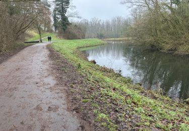
Tour Mountainbike von 31 km verfügbar auf Nordfrankreich, Nord, Lys-lez-Lannoy. Diese Tour wird von baclaude vorgeschlagen.
Ort
Land:
France
Region :
Nordfrankreich
Abteilung/Provinz :
Nord
Kommune :
Lys-lez-Lannoy
Standort:
Unknown
Gehen Sie:(Dec)
Gehen Sie:(UTM)
514871 ; 5613593 (31U) N.
Kommentare
Touren in der Umgebung
Du canal de l'Espierre à Estaimpuis
Wandern
Einfach
(1)
Estaimpuis,
Wallonien,
Hennegau,
Belgium
1h 41min
Ja
Leers 9,7 km
Wandern
Einfach
Leers,
Nordfrankreich,
Nord,
France
9,7 km | 10,3 km-effort
2h 17min
Ja
Lac du héron
Zu Fuß
Sehr leicht
(1)
Villeneuve-d'Ascq,
Nordfrankreich,
Nord,
France
11,9 km | 13 km-effort
Unbekannt
Ja
Sentier de la martelotte
Wandern
Sehr leicht
(1)
Wattrelos,
Nordfrankreich,
Nord,
France
4,7 km | 5,1 km-effort
57min
Ja
Circuit de Robigeux - Sailly lez Lannoy
Wandern
Medium
(3)
Sailly-lez-Lannoy,
Nordfrankreich,
Nord,
France
11,3 km | 12,3 km-effort
2h 49min
Ja
parcours des chouettes
Mountainbike
Einfach
(1)
Villeneuve-d'Ascq,
Nordfrankreich,
Nord,
France
38 km | 41 km-effort
2h 45min
Ja
Le tour des lacs
Wandern
Sehr leicht
Villeneuve-d'Ascq,
Nordfrankreich,
Nord,
France
10,2 km | 11,2 km-effort
Unbekannt
Ja
En route pour Néchin - Willems
Wandern
Medium
(1)
Willems,
Nordfrankreich,
Nord,
France
12,5 km | 13,4 km-effort
3h 0min
Ja
Circuit de la Marque à l'Arbre (Boucles A + B + C)
Mountainbike
Medium
Villeneuve-d'Ascq,
Nordfrankreich,
Nord,
France
33 km | 35 km-effort
3h 30min
Ja