


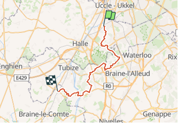


7,6 km | 9,3 km-effort

Randonnez sur et autour des GR ® wallons (Sentiers de Grande Randonnée). PRO


Kostenlosegpshiking-Anwendung
 SityTrail
IGN / Geografische Institute
SityTrail World
Die Welt öffnet sich für Sie
Tour Wandern von 37 km verfügbar auf Flandern, Flämisch-Brabant, Beersel. Diese Tour wird von GR Rando vorgeschlagen.
Point de départ: gare de Beersel
Point d’arrivée : gare d’Hennuyères
Autre gare sur le parcours : aucune : 26 (Malines - Hal) et 96 (Bruxelles - Mons - Quévy).


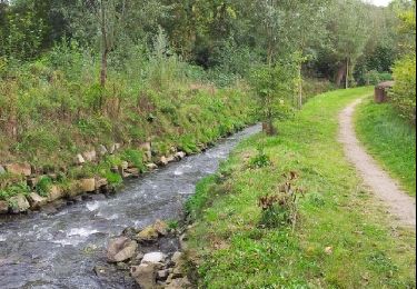
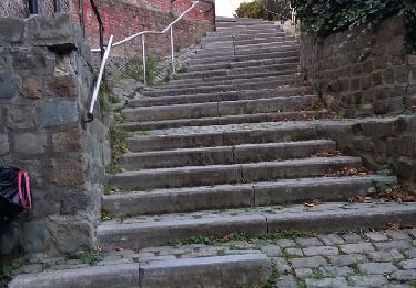
Wandern

Wandern
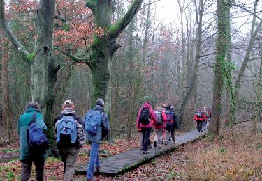
Wandern

Wandern

Wandern
Wandern
Wandern
Wandern
Wandern