


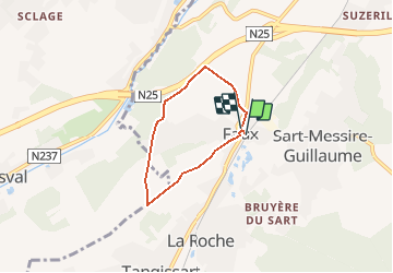


13,3 km | 16,4 km-effort

Benutzer


Kostenlosegpshiking-Anwendung
 SityTrail
IGN / Geografische Institute
SityTrail World
Die Welt öffnet sich für Sie
Tour Wandern von 4,1 km verfügbar auf Wallonien, Wallonisch-Brabant, Court-Saint-Étienne. Diese Tour wird von PatSteph vorgeschlagen.
Promenade n° 10 du Patrimoine Stéphanois. Trois producteurs locaux, de l'histoire très ancienne, de la géologie, de la cartographie, de grands espaces et des sentiers plus que centenaires, un site Natura 2000, un peu de tout...


34 Fotos insgesamt. Klicken Sie auf ein Foto, um sie alle in der Galerie zu sehen.

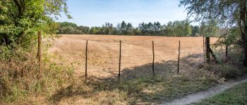
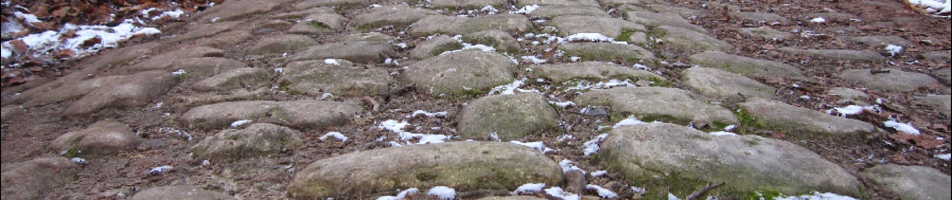
Wandern

Wandern

Wandern

Wandern

Wandern

Wandern

Wandern

Wandern
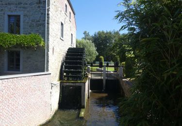
Wandern
sympa mais n25. châtaignes.