


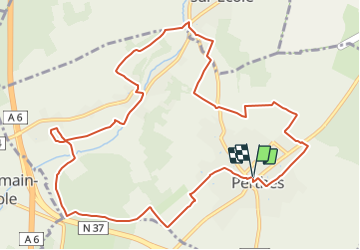

7,5 km | 8,2 km-effort


Club randonnées SERVON


Kostenlosegpshiking-Anwendung
 SityTrail
IGN / Geografische Institute
SityTrail World
Die Welt öffnet sich für Sie
Tour Wandern von 12,1 km verfügbar auf Île-de-France, Seine-et-Marne, Perthes. Diese Tour wird von Les 1000 pattes vorgeschlagen.
Parking de l'Eglise( Rue de l'Eglise à Perthes)
Trajet Servon-->Perthes (35km: 40mn)

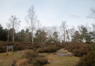
Wandern

Zu Fuß

Wandern

Wandern

Wandern

Wandern
Zu Fuß
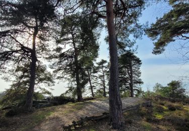
Wandern

Wandern