
5,9 km | 6,9 km-effort


Benutzer


Kostenlosegpshiking-Anwendung
 SityTrail
IGN / Geografische Institute
SityTrail World
Die Welt öffnet sich für Sie
Tour Fahrrad von 30 km verfügbar auf Zentrum-Loiretal, Loiret, Cepoy. Diese Tour wird von becyclette vorgeschlagen.
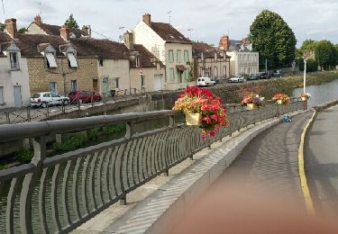
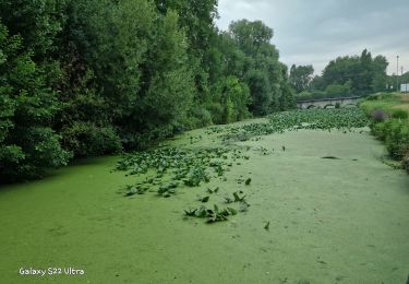
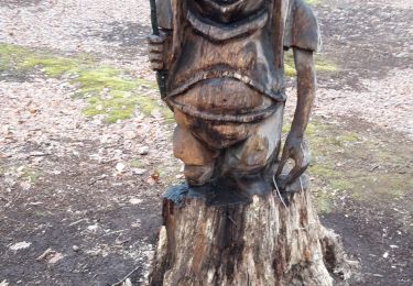
Départ au bord de l'eau pour un parcours avec quelques dénivelés ou vos 5 sens vont être en effervescence. Le chant des grenouilles, le bois des essences forestières, l'odeur des sapins, la splendide vallée sèche, la saveur d'un pique nique au cœur de la nature, … tout est fait pour oublier que la civilisation n'est pas si loin ! Il est alors l'heure de regagner le lieu de départ de votre épopée, des souvenirs plein la tête et les yeux. (Temps minimum : 2h / 6H si on s'arrête à chaque point remarquable, que l'on pique nique et que l'on descend à chaque côte ! ;-) )

Wandern
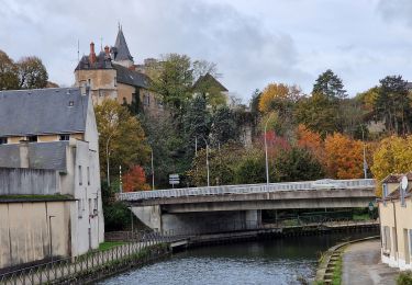
Wandern
Wandern
Wandern
Wandern
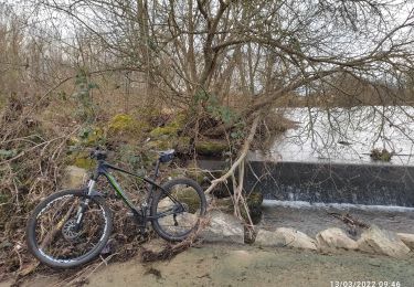
Mountainbike
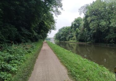
Radtourismus
Wandern