


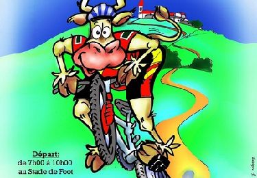
25 km | 35 km-effort


Benutzer


Kostenlosegpshiking-Anwendung
 SityTrail
IGN / Geografische Institute
SityTrail World
Die Welt öffnet sich für Sie
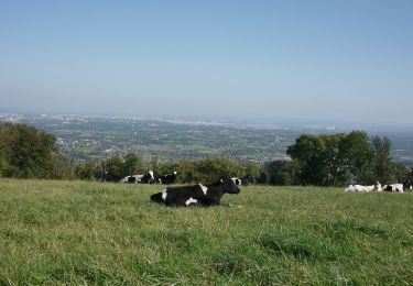
Tour Wandern von 14,9 km verfügbar auf Auvergne-Rhone-Alpen, Rhône, Thurins. Diese Tour wird von daniellebou vorgeschlagen.
En partant à 9h30, permet une pause resto à midi à St Martin en Haut... une bonne adresse : Le P'tit Viand'Art (très bon rapport qualité prix avec du "fait maison").
Mountainbike

Wandern

Wandern
Wandern

Wandern

Wandern
Zu Fuß
Zu Fuß
Zu Fuß