


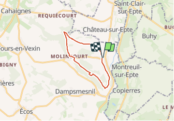

7,8 km | 9,5 km-effort


Benutzer


Kostenlosegpshiking-Anwendung
 SityTrail
IGN / Geografische Institute
SityTrail World
Die Welt öffnet sich für Sie
Tour Wandern von 8,7 km verfügbar auf Normandie, Eure, Vexin-sur-Epte. Diese Tour wird von Marie-Claire-mcp vorgeschlagen.
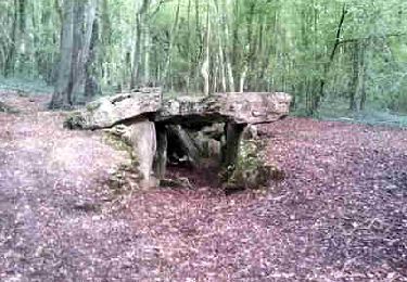
Départ centre de Berthenonville, remonter autour de l'église et continuer la route qui se transforme en chemin. suivre le PR jusqu'au Bois de Cabut puis jusqu'à Molincourt, puis direction l'allée couverte. et le petit bois d'Aulnay
Wandern

Wandern
Wandern

Wandern

Nordic Walking
Wandern
Wandern
Wandern
Wandern