


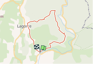

8,7 km | 12,6 km-effort


Benutzer


Kostenlosegpshiking-Anwendung
 SityTrail
IGN / Geografische Institute
SityTrail World
Die Welt öffnet sich für Sie
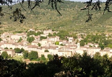
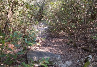
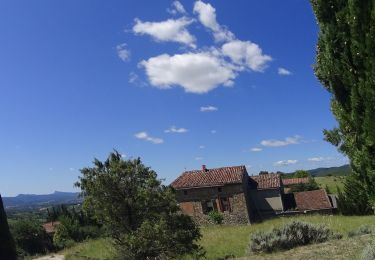
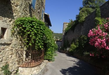
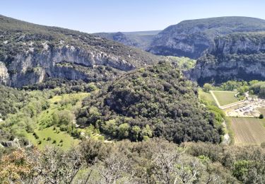
Tour Wandern von 7,5 km verfügbar auf Auvergne-Rhone-Alpen, Ardèche, Lagorce. Diese Tour wird von topolino vorgeschlagen.
Rando pour après-midi, courte mais intéressante, avec vue sur la vallée de l\'Ibie depuis l\'arche, et passage par la chapelle ND d\'Ajude près de Lagorce.
Nordic Walking

Wandern
Zu Fuß

Wandern

Mountainbike
Mountainbike
Mountainbike
Wandern

Rennrad