


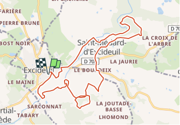

10,2 km | 14 km-effort

Benutzer


Kostenlosegpshiking-Anwendung
 SityTrail
IGN / Geografische Institute
SityTrail World
Die Welt öffnet sich für Sie
Tour Zu Fuß von 12 km verfügbar auf Neu-Aquitanien, Dordogne, Excideuil. Diese Tour wird von CC.RIDER vorgeschlagen.
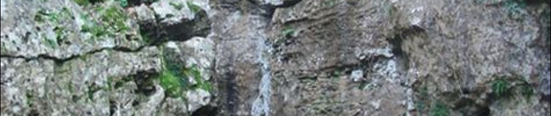
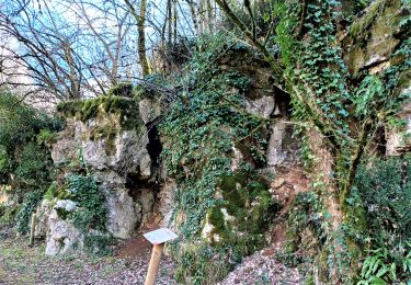
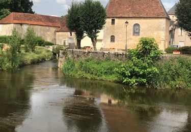
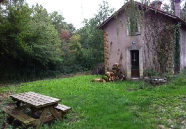
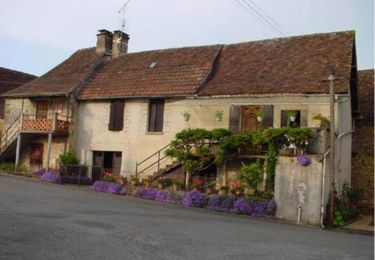
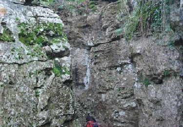
Randonnée au départ d'Excideuil puis sur les bords de la Loue. Au programme, moulins, châteaux et la falaise des Roches Enchantées qui méritent le détour.


Wandern
Wandern
Wandern
Wandern
Wandern
Mountainbike

Wandern
Wandern

Wandern