


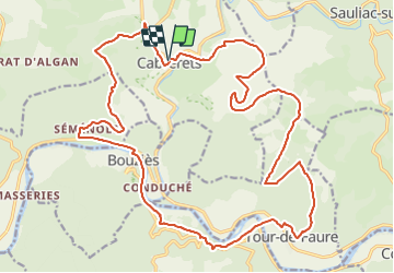


17,7 km | 24 km-effort


Benutzer


Kostenlosegpshiking-Anwendung
 SityTrail
IGN / Geografische Institute
SityTrail World
Die Welt öffnet sich für Sie
Tour Mountainbike von 28 km verfügbar auf Okzitanien, Lot, Cabrerets. Diese Tour wird von sebcar vorgeschlagen.
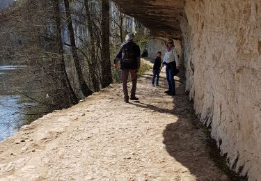
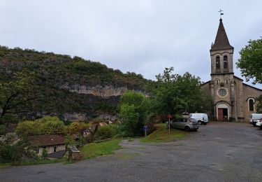
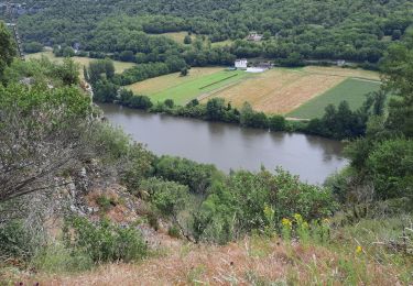
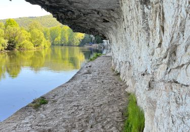
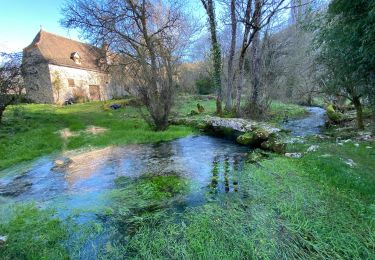
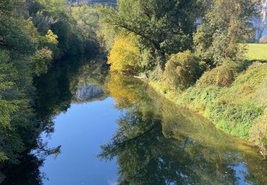
Un des plus beaux circuits du département mais également un des plus sportifs. Les panoramas sur la vallée du Célé, le passage à proximité de Saint- Cirq-Lapopie, un des plus beaux villages de France et Grand Site de Midi-Pyrénées sont grandioses…

Wandern
Wandern
Wandern

Wandern
Wandern


sport
sport
Wandern
Wandern