


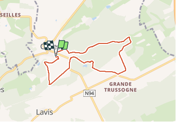

14,3 km | 19 km-effort

Benutzer GUIDE


Kostenlosegpshiking-Anwendung
 SityTrail
IGN / Geografische Institute
SityTrail World
Die Welt öffnet sich für Sie
Tour Wandern von 7,2 km verfügbar auf Wallonien, Namur, Houyet. Diese Tour wird von Desrumaux vorgeschlagen.
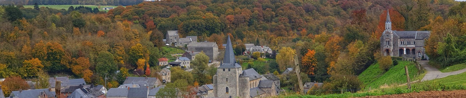
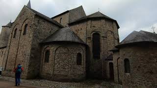
La balade prend son départ au centre du village de Celles, un des plus beaux villages de Wallonie et se dirige vers l'ancienne sablière Jean Marcaux par bois et campagne.


Wandern

Wandern

Wandern

Wandern

Wandern

Wandern

Wandern

Wandern

Wandern
Très jolie découverte à travers champs et bois.
Parfait muchas gracias