


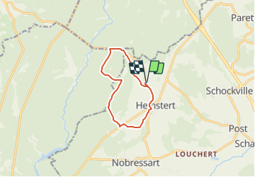

7,8 km | 10,8 km-effort


Benutzer


Kostenlosegpshiking-Anwendung
 SityTrail
IGN / Geografische Institute
SityTrail World
Die Welt öffnet sich für Sie
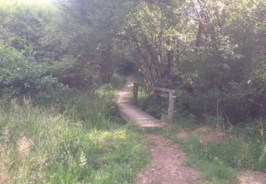
Tour Zu Fuß von 8,7 km verfügbar auf Wallonien, Luxemburg, Attert. Diese Tour wird von yop236 vorgeschlagen.
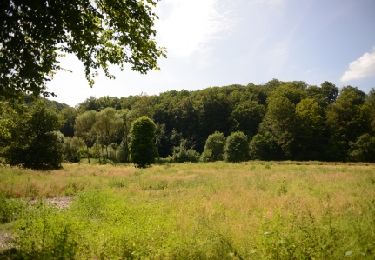
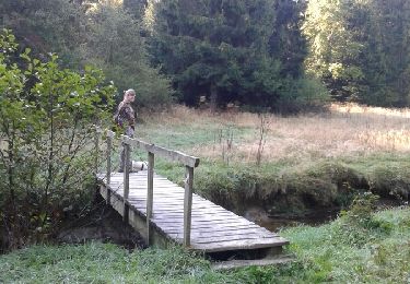
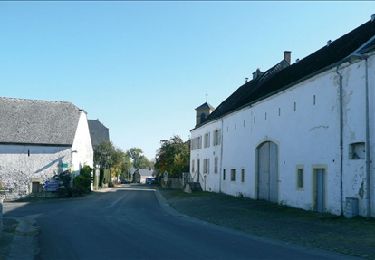
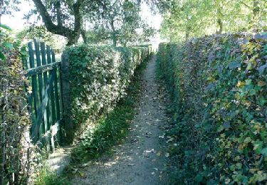
Parcours pédstre - Forêt / campagne - Départ / Retour:
Ferme d'A Yaaz
Wandern
Wandern
Wandern

Andere Aktivitäten
Mountainbike

Wandern
Wandern
Wandern
Wandern