


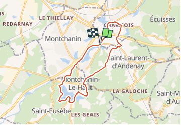

13,1 km | 17 km-effort


Benutzer


Kostenlosegpshiking-Anwendung
 SityTrail
IGN / Geografische Institute
SityTrail World
Die Welt öffnet sich für Sie
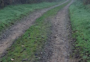
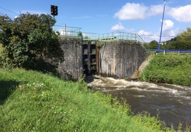
Tour Zu Fuß von 14,5 km verfügbar auf Burgund und Freigrafschaft, Saône-et-Loire, Écuisses. Diese Tour wird von Malice0093 vorgeschlagen.
Rando longeant l'étang de Montchanin, le canal ,la rigole et l'étang de Berthaud pour finir par le retour le long du canal depuis Ecuisses
Wandern

sport
Wandern
Wandern

Zu Fuß
Wandern

sport
Zu Fuß

Wandern