


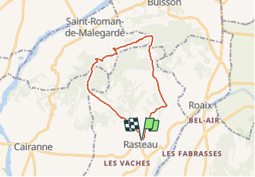

6,3 km | 9,8 km-effort


Benutzer


Kostenlosegpshiking-Anwendung
 SityTrail
IGN / Geografische Institute
SityTrail World
Die Welt öffnet sich für Sie
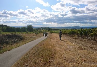
Tour Zu Fuß von 13,3 km verfügbar auf Provence-Alpes-Côte d'Azur, Vaucluse, Rasteau. Diese Tour wird von jeanneruols vorgeschlagen.
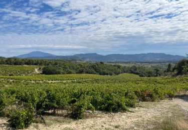
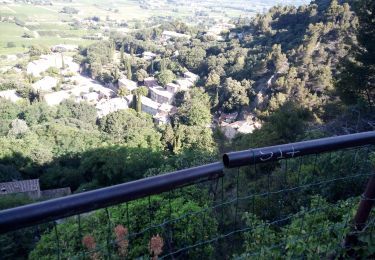
contraste saisissant entre un versany sud viticole vers l'Ouvèze et un versant nord plud raide dominant l'Aygues

Wandern
Wandern
Wandern

Wandern
Wandern

Wandern
Wandern
Wandern
Wandern