


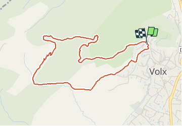

15,2 km | 22 km-effort

Benutzer


Kostenlosegpshiking-Anwendung
 SityTrail
IGN / Geografische Institute
SityTrail World
Die Welt öffnet sich für Sie
Tour Wandern von 5,5 km verfügbar auf Provence-Alpes-Côte d'Azur, Alpes-de-Haute-Provence, Volx. Diese Tour wird von JPJ38 vorgeschlagen.
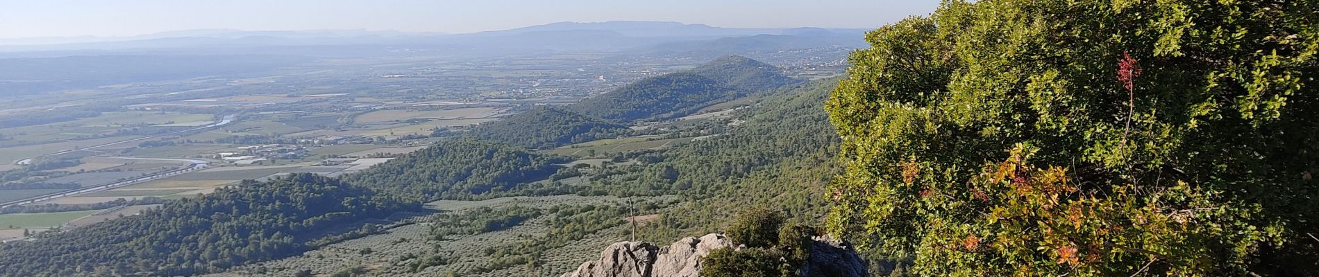
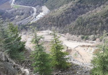
Une bonne montée par un sentier caillouteux
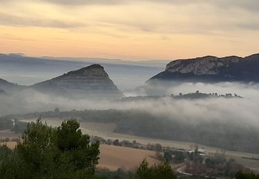
un palier agréable avec clairières et petits bois.
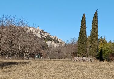
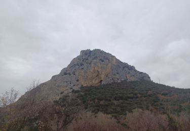
Retour par un sentier en sous bois

Wandern
Wandern
Wandern
Zu Fuß

Mountainbike

Wandern
Wandern

Wandern
Wandern