


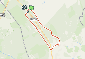


16,7 km | 22 km-effort

Benutzer GUIDE


Kostenlosegpshiking-Anwendung
 SityTrail
IGN / Geografische Institute
SityTrail World
Die Welt öffnet sich für Sie
Tour Wandern von 6,1 km verfügbar auf Wallonien, Lüttich, Weismes. Diese Tour wird von pierreh01 vorgeschlagen.
Lundi 11 octobre 2021 : Balade hebdomadaire du lundi
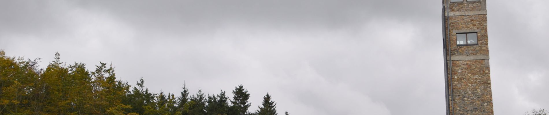
Circuit en boucle, sans balisage, au départ du Signal de Botrange, sous un ciel maussade mais sans pluie.


22 Fotos insgesamt. Klicken Sie auf ein Foto, um sie alle in der Galerie zu sehen.

Wandern

Wandern

Wandern


Wandern

Wandern
Wandern

Wandern

Wandern