


28 km | 31 km-effort


Benutzer


Kostenlosegpshiking-Anwendung
 SityTrail
IGN / Geografische Institute
SityTrail World
Die Welt öffnet sich für Sie
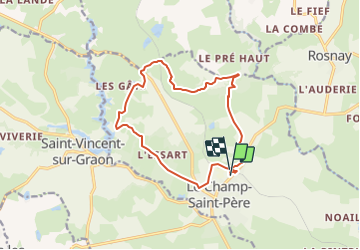
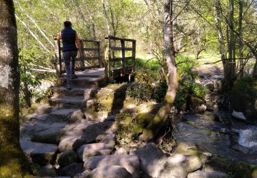
Tour Zu Fuß von 13,4 km verfügbar auf Pays de la Loire, Vendée, Le Champ-Saint-Père. Diese Tour wird von cath310 vorgeschlagen.
D/R petit parking de la gare
balisage : jaune sur fond vert
n°48 VENDEE guide des sentiers de randonnée pédestre FFRandonnée
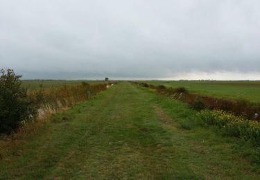
Wandern

Wandern

Wandern
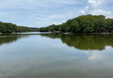
Wandern
Wandern

Zu Fuß
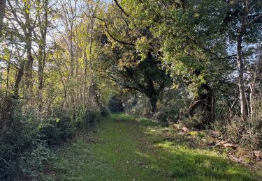
Wandern
Wandern
Wandern