


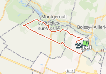

5,2 km | 5,8 km-effort

Benutzer


Kostenlosegpshiking-Anwendung
 SityTrail
IGN / Geografische Institute
SityTrail World
Die Welt öffnet sich für Sie
Tour Wandern von 6,8 km verfügbar auf Île-de-France, Val-d'Oise, Puiseux-Pontoise. Diese Tour wird von unirega vorgeschlagen.
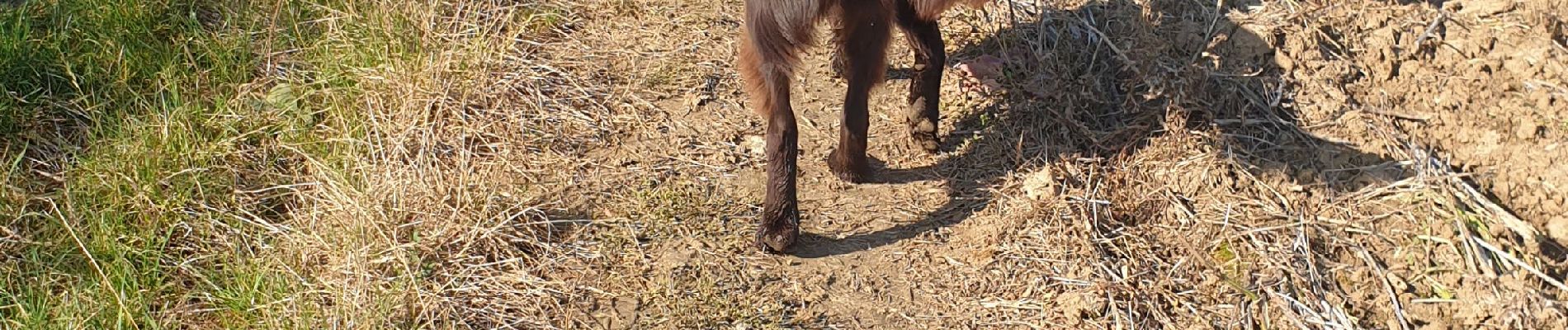
Balade tranquille avec chien. Juste 400m de village. Pas de point d'eau pour le chien sur le parcours. Mélange de plaines et sous-bois.


Laufen

Zu Fuß

Zu Fuß
Zu Fuß

Wandern
Wandern
Wandern
Wandern

Wandern