


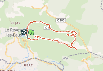


11,8 km | 19,3 km-effort

Benutzer


Kostenlosegpshiking-Anwendung
 SityTrail
IGN / Geografische Institute
SityTrail World
Die Welt öffnet sich für Sie
Tour Wandern von 9,9 km verfügbar auf Provence-Alpes-Côte d'Azur, Var, Le Revest-les-Eaux. Diese Tour wird von cousam vorgeschlagen.
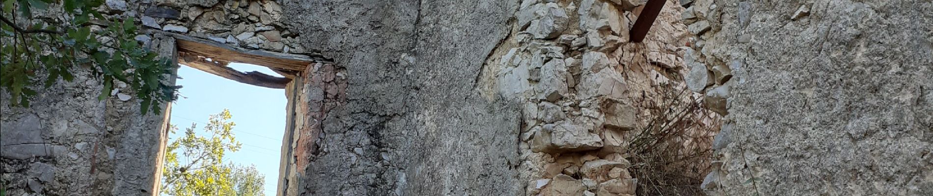
Boucle par la source de Ragas ,le ravin du Cierge ,le village en ruines des Olivières ,la carrière des fourmis ,la grotte de Sable et le château de Tourris.


24 Fotos insgesamt. Klicken Sie auf ein Foto, um sie alle in der Galerie zu sehen.

Wandern

Wandern

Wandern

Wandern

Wandern

Wandern

Wandern

Wandern

Wandern