


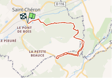

23 km | 29 km-effort

Benutzer


Kostenlosegpshiking-Anwendung
 SityTrail
IGN / Geografische Institute
SityTrail World
Die Welt öffnet sich für Sie
Tour Nordic Walking von 10,3 km verfügbar auf Île-de-France, Essonne, Saint-Chéron. Diese Tour wird von PascalROBINET vorgeschlagen.
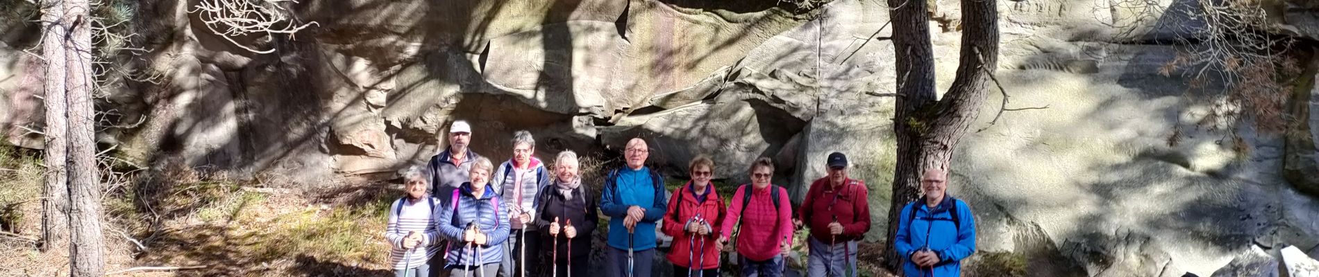
Cette marche nordique était conviviale, avec des temps de pause pour un intérêt historique du site. D'où la durée plus longue pour parcourir 10 kms avec une belle montée au départ.


Wandern

Zu Fuß

Wandern

Wandern
Wandern

Wandern
Wandern
Wandern
Wandern