


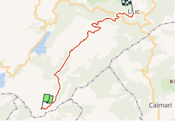


12,4 km | 20 km-effort

Benutzer


Kostenlosegpshiking-Anwendung
 SityTrail
IGN / Geografische Institute
SityTrail World
Die Welt öffnet sich für Sie
Tour Wandern von 14,3 km verfügbar auf Balearische Inseln, Unbekannt, Escorca. Diese Tour wird von dauzata vorgeschlagen.
GR221 La Ruta de Pedra en Sec
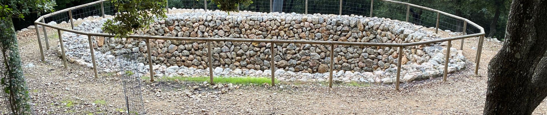
Bien balisé
Logement: Santuari de Lluc ou refuge de Son Amer 20mins plus loin.
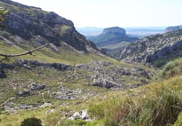
Possibilité de faire le Puig de Massanella (1365m) depuis le Coll de Prat. Je n'ai pas pu le faire car mauvais temps (sommet dans le brouillard)


23 Fotos insgesamt. Klicken Sie auf ein Foto, um sie alle in der Galerie zu sehen.
Wandern

Wandern
Wandern
Wandern