


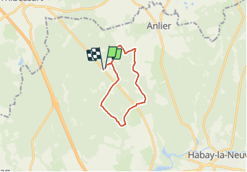

23 km | 29 km-effort

Benutzer


Kostenlosegpshiking-Anwendung
 SityTrail
IGN / Geografische Institute
SityTrail World
Die Welt öffnet sich für Sie
Tour Reiten von 9 km verfügbar auf Wallonien, Luxemburg, Habich. Diese Tour wird von alfreson vorgeschlagen.
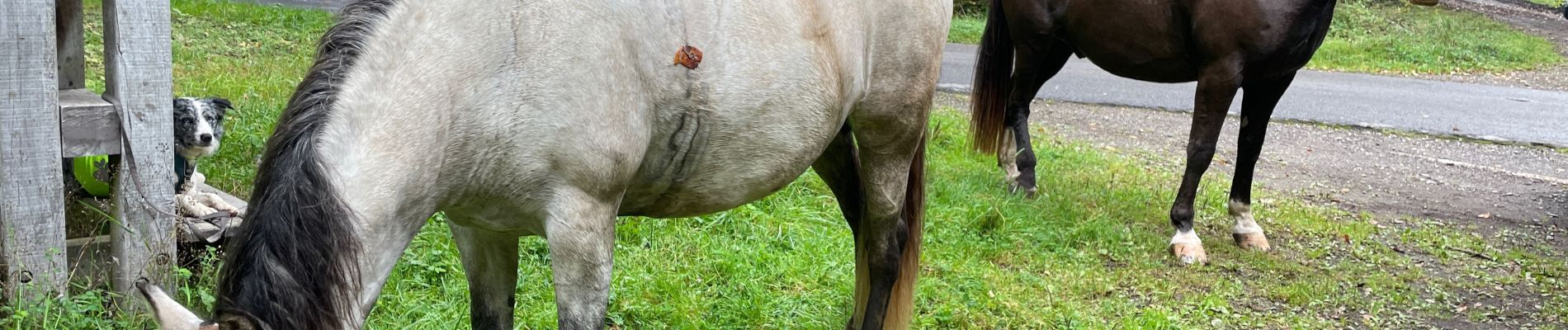
Départ d’un parking accessible pour les camions chevaux et van, très belle promena de dans les bois, avec vue pour faire boire les chevaux et chiens


Wandern
Wandern
Wandern

Reiten

Fahrrad

Pferd

Wandern

Mountainbike

Wandern