


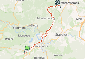


23 km | 33 km-effort

L'équitation par tous, pour tous


Kostenlosegpshiking-Anwendung
 SityTrail
IGN / Geografische Institute
SityTrail World
Die Welt öffnet sich für Sie
Tour Reiten von 24 km verfügbar auf Wallonien, Lüttich, Dreibrücken. Diese Tour wird von Écuries du Moulin vorgeschlagen.
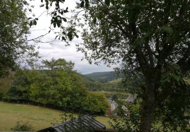
Retour de la rando du manège de LA Haute Levée à Francorchamps jusque Basse-Bodeux

Wandern

Wandern
Wandern

Wandern

Wandern
Wandern
Wandern
Wandern
Wandern