


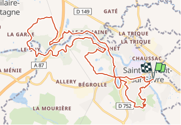

23 km | 28 km-effort


Benutzer


Kostenlosegpshiking-Anwendung
 SityTrail
IGN / Geografische Institute
SityTrail World
Die Welt öffnet sich für Sie
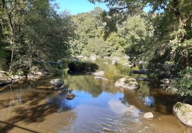
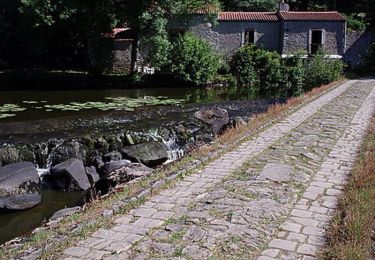
Tour Wandern von 14,8 km verfügbar auf Pays de la Loire, Vendée, Saint-Laurent-sur-Sèvre. Diese Tour wird von marianne guichoux vorgeschlagen.
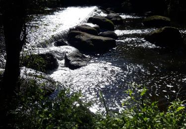
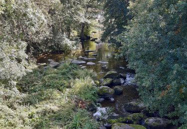
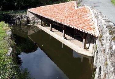
parcours visite de Saint Laurent, la croix Brébion,la Tourette,la porte des martyrs,moulin de l'étourneau viaduc de Barbin,la chaussée du guy

Wandern
Wandern
Wandern
Wandern
Wandern

Wandern
Wandern
Mountainbike
